|
|---|
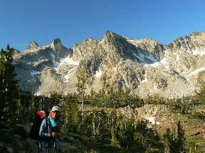
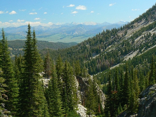
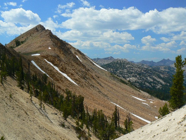
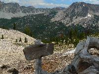
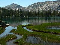
Sand Mountain Pass
(Click the image for a full-size view)
|
|---|
|
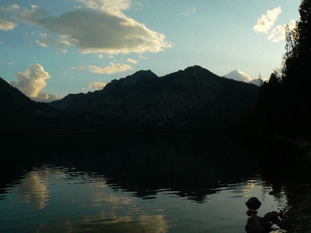
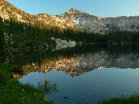
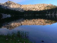
|---|
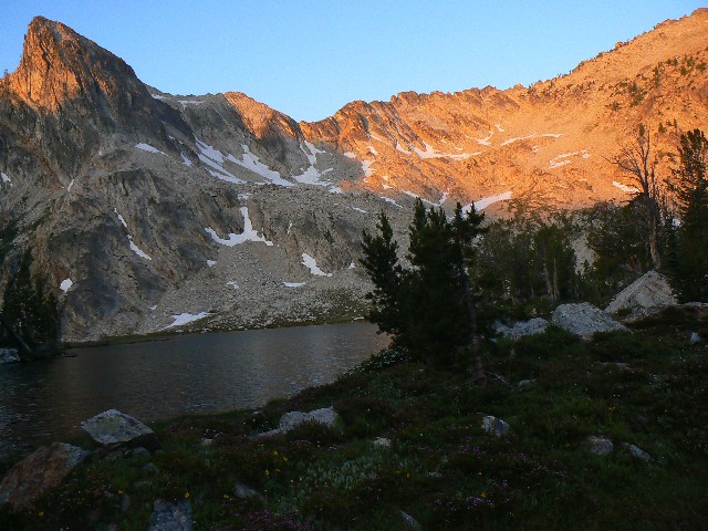
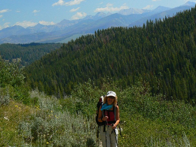
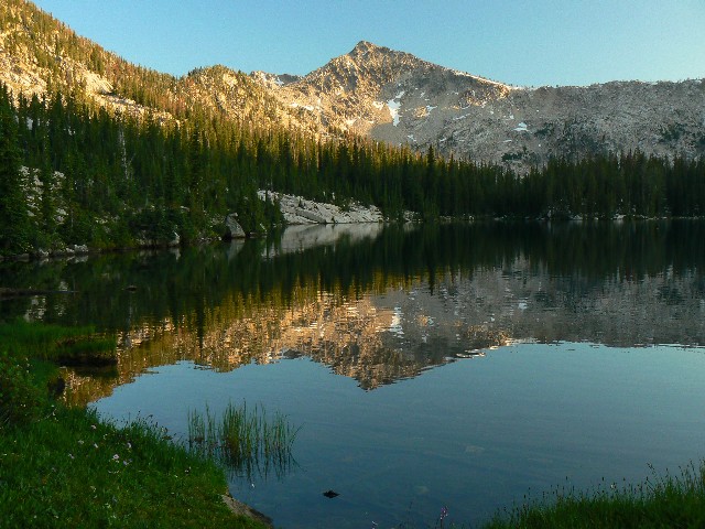
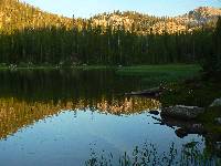
Reflections of Edna
(Click the image for a full-size view)
|
|---|
|
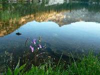
|
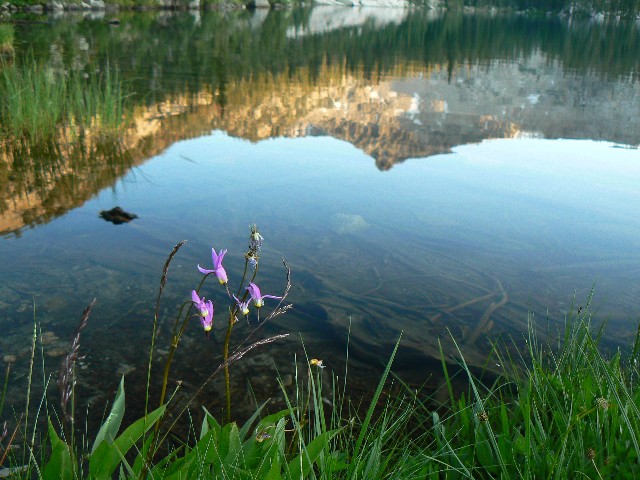
|---|
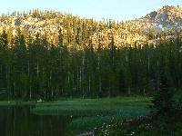
Reflections of Edna
(Click the image for a full-size view)
|
|---|
|
(There are - More photos below the trip narrative.)
|
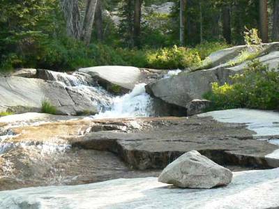
|---|
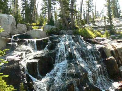
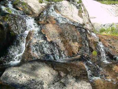
Movie of cascade 2 above Toxaway Lk, Day 2 - 13 MB
(Click the image to see the short video - 22 MB)
|
|---|
|
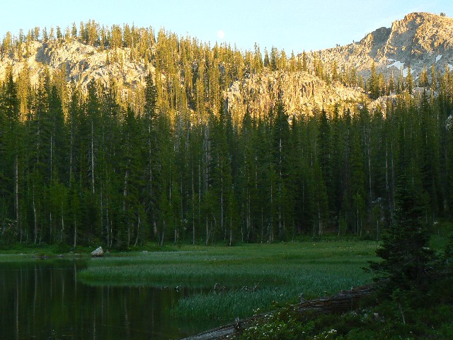
Day 3: El Paseo of three passes, 10+ lakes: Edna to Benedict, lake route; 9.2 miles; up 1550', down 1713'; ERM = 15.5. Camp at 8300'.
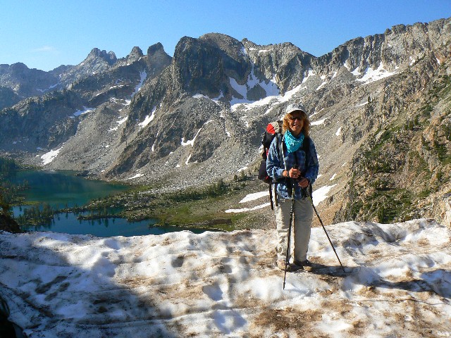
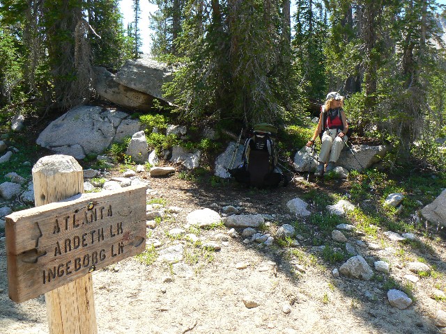
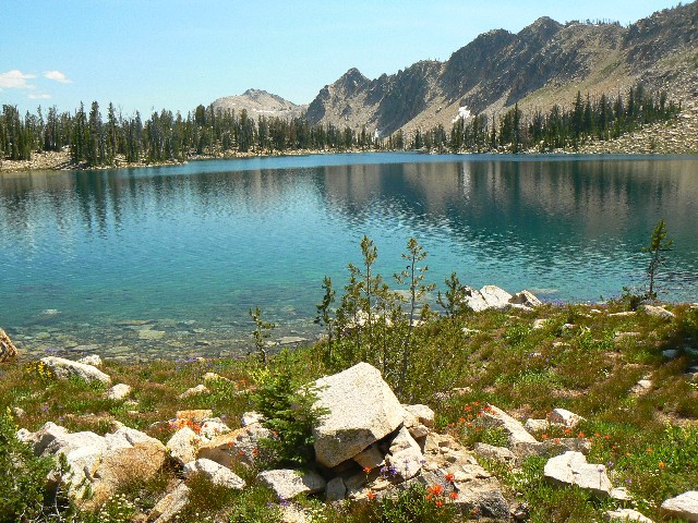
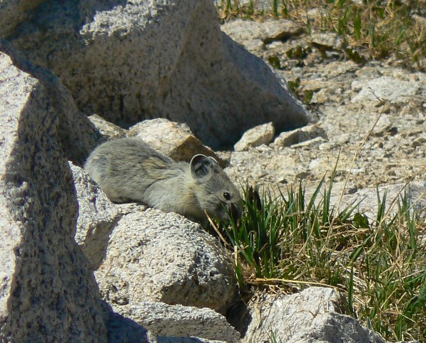
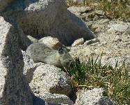
The view of Ten Lakes Basin just keeps improving as we ladder up the switchbacks to the pass above Ardeth Lake, the second pass of the day. I see a chubby Pika harvesting the forb meadow dotted with speckled white granite boulders - shattered from the glacier-polished cliffs above. The drop into the Spangle Lakes is smooth and easy, followed by the third in the trio of low passes for today. This last pass doesn't angle down after its summit - instead there is beautiful Ingeborg Lake, soon followed by Slide Rock with its gorgeous white sand-lined sinuous feeder streams. Three Island Lake Trail leaves the main route as it drops steadily toward Benedict, the last lake in our lake tour of today. Very minimal camping is available at Benedict, yet it is well situated to split up this section of the figure-eight. Mosquitoes come and go, yet don't prevent a good bath.
|
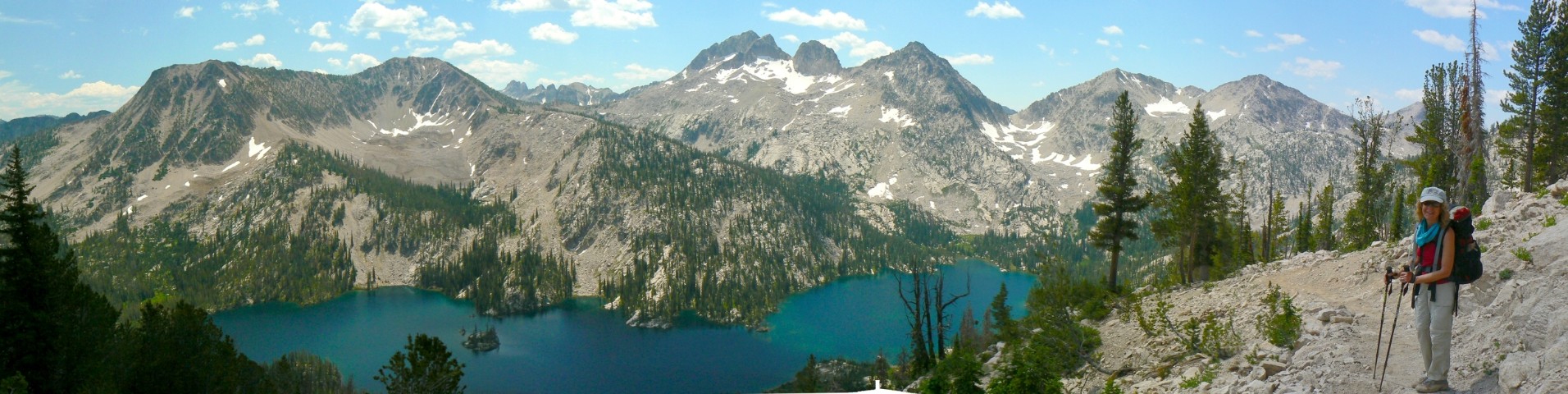
|---|
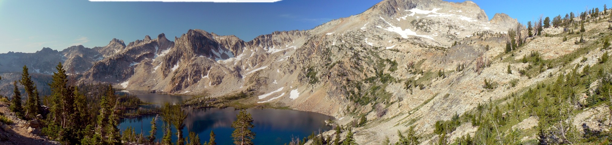
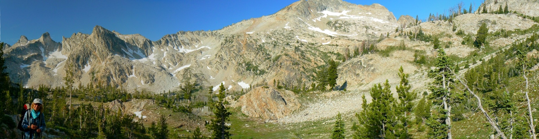
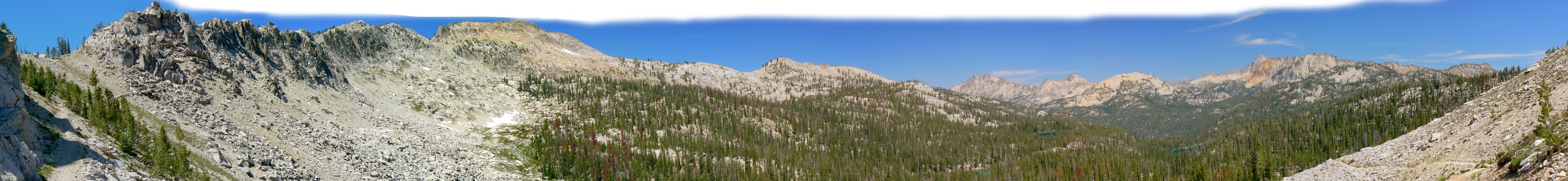
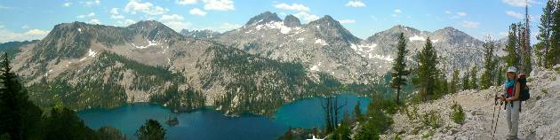
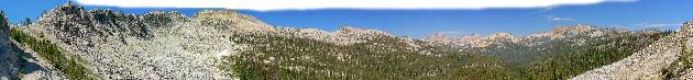
Pano - Toxaway from Sand Mountain Trail
(Image is very wide - scroll to view it (1980 x 480; 304kb) - Click
the image for the full-size image)
|
|---|
|
|
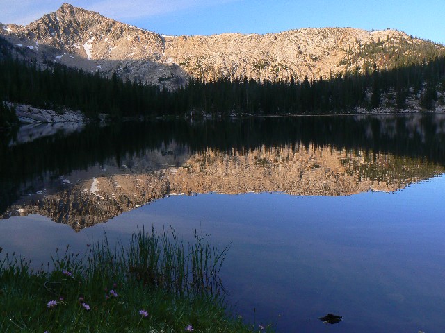
|---|
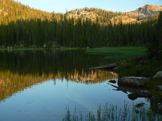
Day 3 Edna Morning
(Click the image for a full-size view)
|
|---|
|
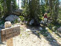
|
|---|
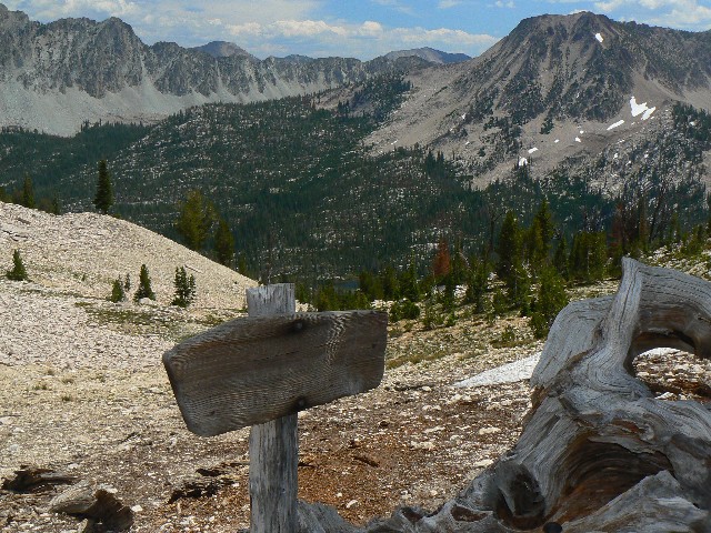
Atlanta Crossroads
(Click the image for a full-size view)
|
|---|
|
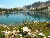
|
|---|
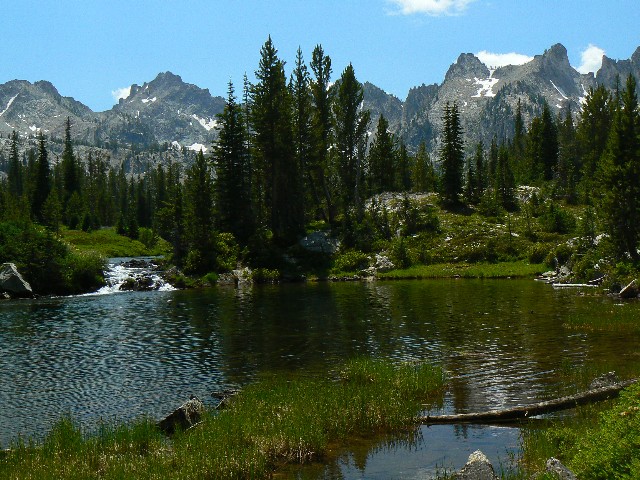
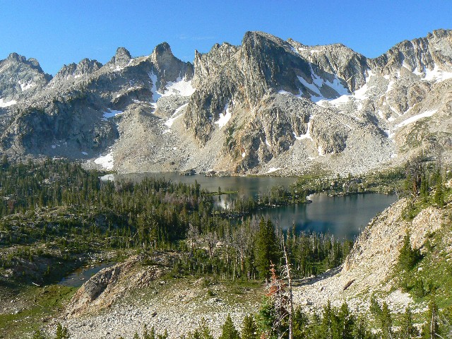
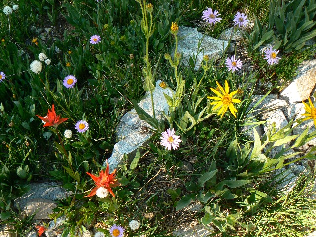
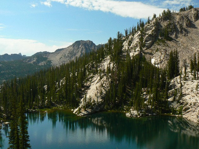
Ingeborg Lake
(Click the image for a full-size view)
|
|---|
|
|
|---|
Day 3 Rockslide Maze
(Click the image for a full-size view)
|
|---|
|
|
|---|
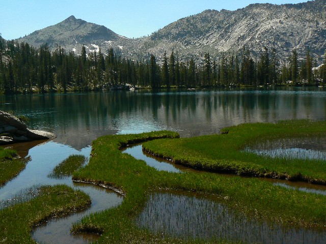
Benedict Lake
(Click the image for a full-size view)
|
|---|
|
|
|---|
Benedict Lake
(Click the image for a full-size view)
|
|---|
|
(There are - More photos below the trip narrative.)
|
|---|
Movie of cascade along Benedict Cr., Day 4 - 13 MB
(Click the image to see the short video - 13 MB)
|
|---|
|
Day 4: Payette Pirouette: Benedict to Edna, via the South Fork Payette:
8.9 miles; up 1419'; down 1314'; ERM = 14. Camp at 8400'.
The mighty South Fork Payette has dwindled to a three-rock hop.
The lilt along Benedict Creek has been fabulous, with its flower-studded views of granite crags and its deep forest rambles - headed down to a ford of Benedict Creek and then the South Fork Payette, where we begin the elevator back to Edna, passing the Ten Lakes/Ardeth Lake junction and that to Hidden Lake and the Cramer gems. A few short weeks ago, a fellow traveler informs us, it was not possible to ford the S. Fork Payette, and he had to circle back the way he came. No big issues today. Yet, I am captivated by the clarity and abundance of this mountain water. The previous trips I have done this year were all in terrain generally devoid of water, even the sky island of the Toiyabe Crest. Ahh, water, clear and free, flow for me.
Then, to Virginia Lake and back to our Edna camp of day 2, completing this circle of the figure-eight.
We arrive at Edna in time for a bath and to swat more mosquitoes than mormons at a conference weekend. Yikes. A front of whispy weather change clouds slide in just before sunset. Meaning what? Fish jump as clouds play and we call it a day.
We are startle awake by Mule Deer pawing and snorting a few feet from the tent. What!? Apparently, they are digging for salts in urine left by campers?
|
|---|
Pano- Ten Lakes Basin
(Image is very wide - scroll to view it (4152 x 480; 764kb) - Click
the image for the full-size image)
|
|---|
|
|
|---|
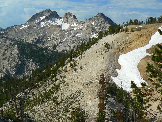
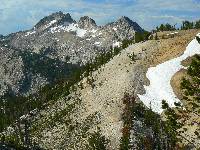
Day 5 above Sand Mtn Pass
(Click the image for a full-size view)
|
|---|
|
|
|---|
Grazing Pika
(Click the image for a full-size view)
|
|---|
|
|
|---|
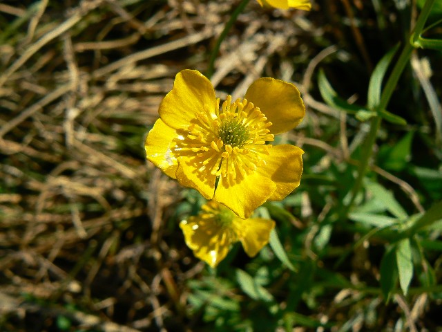
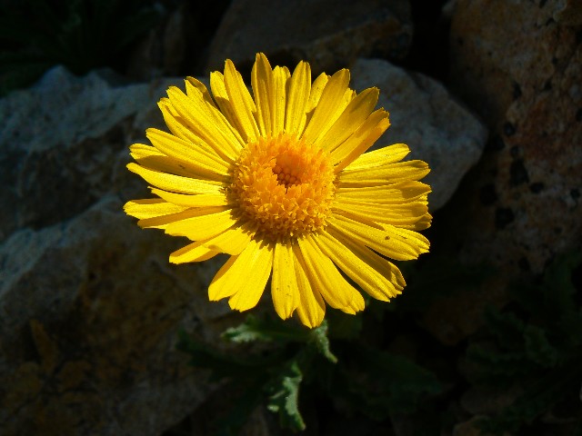
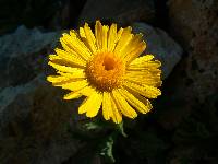
Old Man of the Mtn.
(Click the image for a full-size view)
|
|---|
|
|
|---|
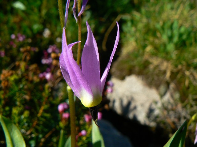
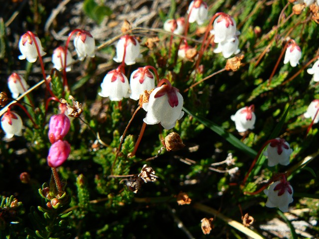
Puffball - unnamed
(Click the image for a full-size view)
|
|---|
|
|
|---|
Edith Lake
(Click the image for a full-size view)
|
|---|
|
|
|---|
End of the trail - for now
(Click the image for a full-size view)
|
|---|
|
|
|---|
Movie - West of Sand Mountain, Day 5 - 24 MB
(Click the image to see the short video - 24 MB)
|
|---|
|
Day 5: Moraine Marathon - and here we have Idaho:
Edna, over the pass to Edith Lake, to Yellow Belly Trail, completing the second loop. 11.6 miles; up 1700'; down 2650'; ERM = 20.
The portly Golden Mantled Ground Squirrel races like a motorcycle in a barrel at the state fair, centrifugal force keeping it up on the glass as it frenetically runs like insurance billionaires rushing to deliver pay-offs and graft to republican legislators. We are at the TH and when a car door was opened, in hopped the squirrel, looking for unearned handouts as expectantly as the GOP in exile looks for bailout-funded CEOs to pay to defeat health care reform.
The day started with a return to Sand Mountain Pass. Continuing up from this pass, we encountered Old Man of the Mountain sunflowers before dropping into the granulated granite holding the Imogene/Edith trail junction. Wondrous place - it looks prime for Mountain Goats, albeit we don't see any today. Continuing down the trail toward Toxaway Lake, we encounter the jade green jewel of Edith. There are signs of it being within a day's hiking of the trailhead - wear and tear, and restoration projects being implemented. This trail seems more 'primitive' than that from the Day 2 up to Sand Mountain Pass, no gently curving switchbacks. And, there is a demonstrated (argh, ankle twist) need for the revived CCC (Civilian Conservation Corp) to repair and prevent erosion damage. Write your legislator today - bring back the CCC.
After rejoining the Twin Lakes/Toxaway loop, we continue down the Yellow Belly Trail toward Farley Lake. We had initially planned on camping at Farley, yet the early hour and the drone of mosquito squadron 409 convinced Kathleen that the TH lope looked wondrous.
This section of trail does feel less wild, perhaps because we see more people and evidence of people, or perhaps because we know we are approaching the domain of Summer homes and roads. After a ford or two of the getting-larger creek, we begin rolling over moraine bumps.
Roll on morainia, roll on. It's an interesting observation of underfoot geology, yet perhaps I am telling myself this because I can no longer keep my head from lolling earthward. Some energy snacks at the next Yellow Belly junction are precious.
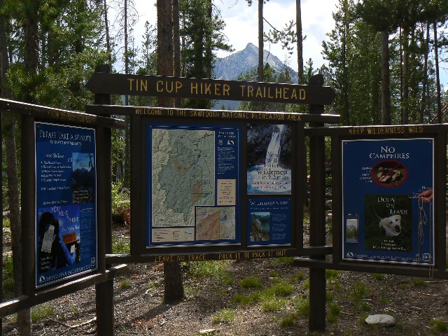
An inspection of the map reveals that we have only to hike over the bump marking the country line and to drift toward the Tin Cup TH to the sunshower lounging in the car. It's not much of a climb, yet seems so after the getting-longer day.
The clouds are building as we battle the squirrel and set-up for a woodsy shower. Deluxe.
The sad news, Dear Reader, is that we are forced to drive through the republicanized Sun Valley/Ketchum, where billionaires have squeezed out millionaires, squeezing them down the valley like toothpaste from a tube, and where there is not a native Idahoan in any of the luxury pretend SUVs or strolling the manicured imported grass.
The most excellent news, Dear Reader, is that that thunderstorm that was brewing at the TH finally arrives and sends the noxious repulsican weeds to scurry for their McMansions, and cleans some of the oil of snake from the tarmac. Gloriousa! we find a basic, basically good, Mexican restaurant (Chapala) in Hailey - one of the down-canyon places left with a few natives. Sadly, of course, many of these natives still vote against their own best interest, supporting the pygmy intellects of Idaho politics. Who else? All together --- repulsicans. My suggestion - read the book "What's the Matter with Kansas?" and its companion "The Wrecking Crew..." by Thomas Frank. As Kathleen asks in her prelude to the rangy report of volunteering in the Frank Church River of No Return Wilderness "How many of us can even remember when Idaho had a progressive, conservation-minded, liberal politician elected to high office? Frank Church was Senator from 1956 to 1980" and that's your answer. I can say these things because I am an Idaho native.
The traffic thins as we approach the Picabo Junction, then.... The crystal crisp rainbows appear, arching from verdant foothills to ebony volcanic desert, and here we have Idaho.... all together now, sing the state song as we relish in remembrances of The Sawtooth Wilderness ....
You've heard of the wonders our land does possess,
It's beautiful valleys and hills,
The majestic forests where nature abounds,
We love every nook and rill.
And here we have Idaho
Winning her way to fame.
Silver and gold in the sunlight blaze,
and romance lies in her name.
Singing, we're singing of you,
Ah, proudly too,
All our lives thru, we'll go
Singing, singing of you,
Singing of Idaho.
|
|---|
Movie - Cascade below Edith Lk., Day 5 - 3 MB
(Click the image to see the short video - 3 MB)
|
|---|
|

|
|---|
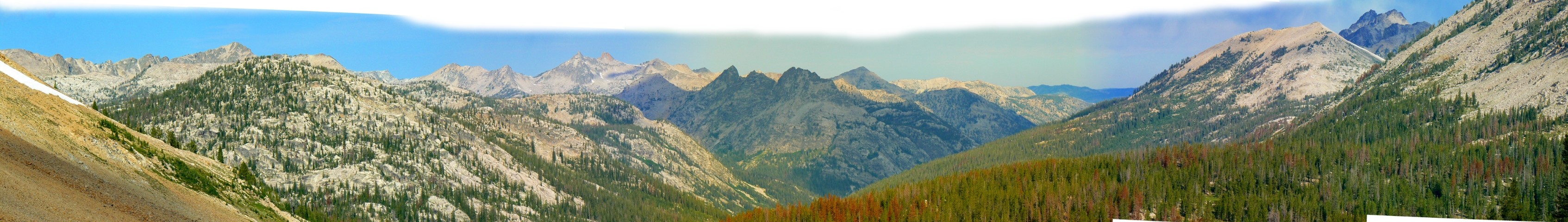
Pano - Looking West from Sand Mountain, Day 5, 580kb
(Image is very wide - scroll to view it (3387 x 480; 580kb) - Click
the image for the full-size image)
|
|---|
|
Links:

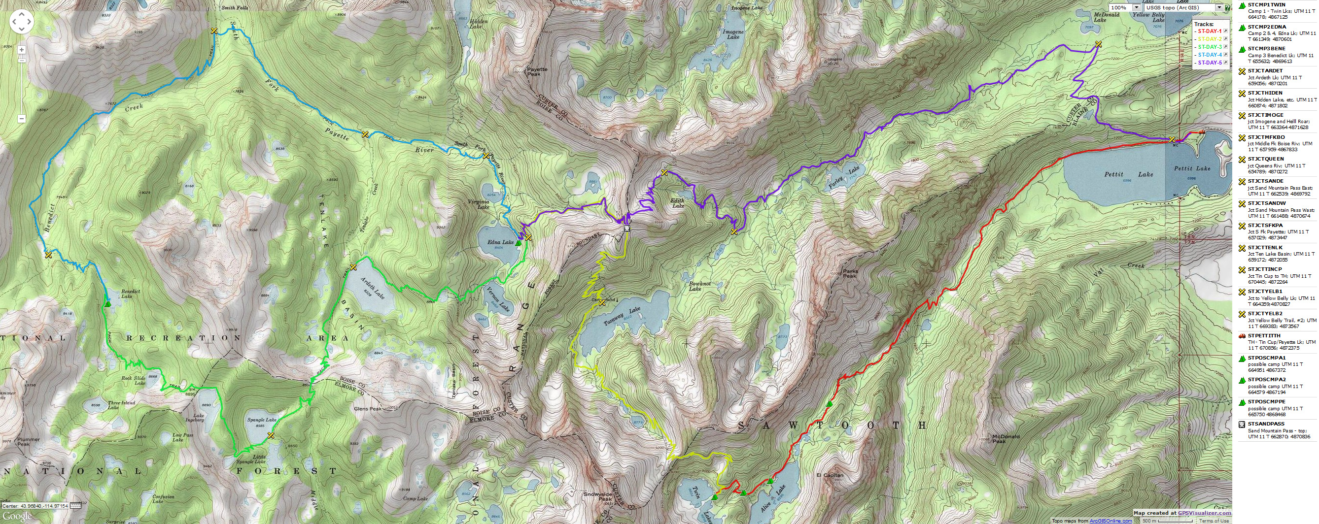
Map:


|
|---|
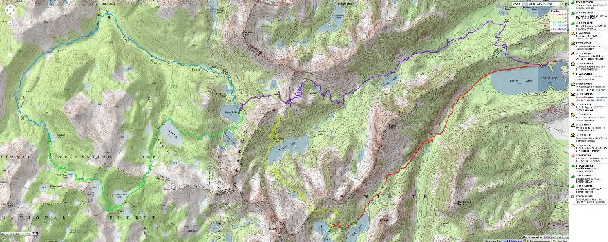
Map - ID: Sawtooth Figure-8; 2009; 46 miles
(Click the image to see the map)
|
|---|
|
Movies:
Click here to: see a video of Twin Lakes from the pass into Toxaway, Day 2. (22mb)
video of a cascade above Toxaway 1, Day 2. (13mb)
video of a cascade above Toxaway 2, Day2. (13mb)
video of a cascade on Benedict Creek, Day 4. (22mb)
View West from Sand Mountain Pass, Day 5. (25mb)
Edith Lake cascade, Day 5. (3mb)
Panos:
Click here to: see a Pano- Twin Lakes 1
Pano- Twin Lakes 2
Pano - Toxaway from Sand Mountain Trail
Pano- Ten Lakes Basin
Pano - Looking West from Sand Mountain
Previous WV Reports about The Sawtooth Wilderness and The Frank Church RONRW:
Sawtooth Wilderness Lakes Loop (2004)
Sawtooth Soiree (2001)
Sawtooth Traverse: Iron Creek to Atlanta (1985)
Previous WV trip reports of the Frank Church Wilderness:
Middle Fork Salmon Century Floatboating: Nearly 150 Miles of tribute to Frank Forrester
Church - Boundary Creek to Cache Bar: River Miles 0 to 98 (2007)
Salmon Sojourn! Volunteering at Little Creek Guard Station. Fifty-five days near River
Mile 35 on the Middle Fork of the Salmon River
in the Frank Church River of No Return Wilderness (2005)
Boundary Creek to the Flying B (2003)
Llamalot at the Middle Fork Salmon, The Sequel! (1998)
Llamalot at the Middle Fork Salmon? (1997)
Llama Lounging In The Crags:
Packing in Idaho's Bighorn Crags (1997)
Related Sites:
Click here to see Ralph Maughan's Wildlife News.
Inventoried Roadless Area Maps - SNRA and area, USFS
Boulder-White Clouds Council
Idaho Conservation League
Save our Wild Salmon - Freedom to Roam - the Salmon
|